
map of Ottawa inside the greenbelt
2020 07 04 Ottawa Multi Use pathway Cycling Walking Map – Hans on the Bike
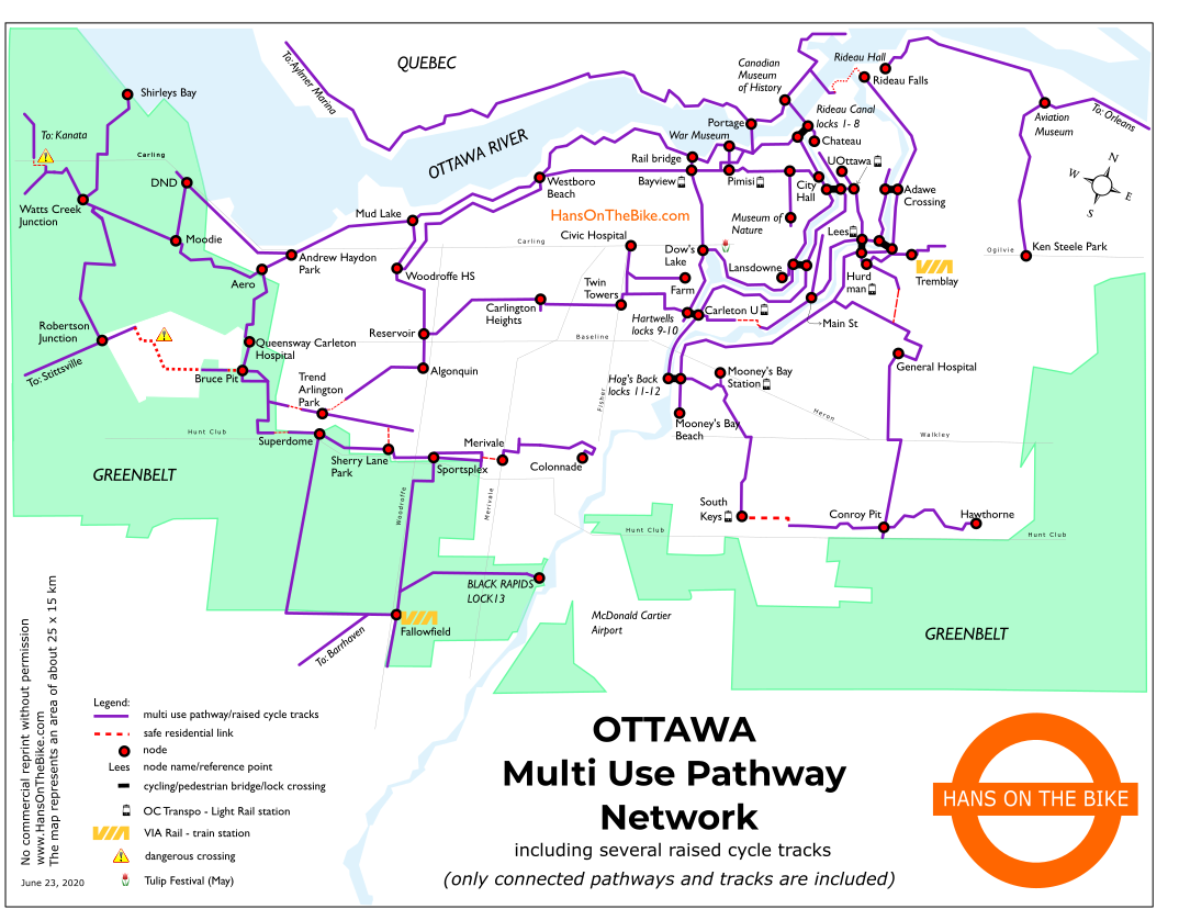
Ottawa’s multi use pathway network. Only pathways that are connected to form a network are shown. In some small instances, a red dotted line is shown where no alternative exists and where it should be safe to cycle on one or several short residential streets. A warning sign on the map shows where extra attention is required. Note that this map is a guideline only to give the big picture of our network. You may need a detailed extra map to navigate when leaving the shown network in this image.
Leave a Reply