
It didn’t start well.
I was going to check on the progress of the Heron Rd cycling lanes roughly between Bank St and Data Centre road. It has been a long time coming and I first wrote about it already in 2017. Progress was slow on this 2 x 850 meter new piece of cycling infrastructure.
In the past, I have made some comments on the somewhat sloppy execution of the project in some places and my latest visit has not made me change my mind much. Yet, there is a nice surprise to be found too.
No detour on Heron
Upon arriving from the west end, I encountered a blocked pathway due to work on the culverts of Saw Mill Creek that runs underneath Heron Rd, just south of Clover St. near Heron Park. No detour was available, nor was there any suggestion to drivers to share the road. This stretch of road is not pleasant to cycle on.

In a roundabout way, I found my way to the other side of the closed off section, also circumventing the construction of LRT over the railway tracks a wee further south (there used to be a level crossing of two railway tracks).
I start with the photos at the intersection of Heron with Junction Ave. I cycled one block on an unnecessary closed track. I know, daring!


Curbless tracks, but not always


The fun begins with a protected Dutch style intersection at Heron and Clover. The sidewalk has been moved further in and the track replaced the pathway behind the bus stop. Cycling further east, you will notice a gentle dip down and up at a side street without having to cross the unneccessary concrete curbs that are never very smooth and rattle our bike and bones. Sometimes the city puts those curbs in, sometimes they don’t.
Protected intersection at Clementine
At Cementine, we’ll find another protected intersection. Clementine is part of a cycling route. However, I don’t think some of the work was done well. The on ramp from Clementine could have started earlier, but I understand there was no space. Clementine is a whopping 18 meters (60 feet) wide here though.
Yet, there is a very awkward entrance to the protected intersection. It is hard to see on the image, but the entrance to the private driveway (in the photo: green rectangle – driveway entrance) is where you want to enter the bike track, not where it actually starts (red circle). Why? Because you will fall. The curb (red circle) is way too high, I estimate about 4 cm. The blue line flow is what I suggested earlier in the process when the drawings came out, but that didn’t happen. Obviously, if you prefer to cycle on the road, you can follow the blue dotted line.


The disappeared slip lane
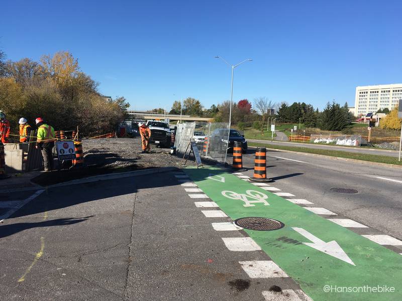
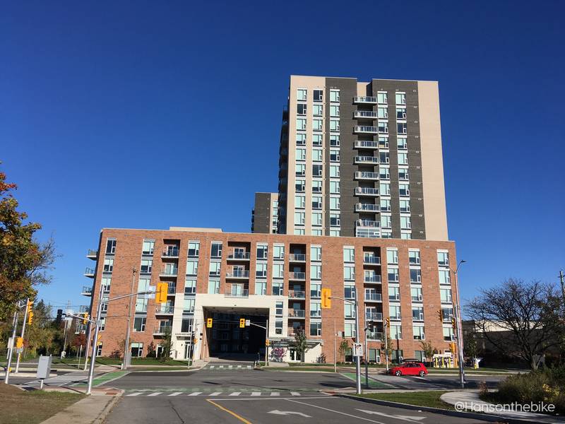
Cycle further east and you will eventually hit the entrance and exit of Canadian Tire. You will find a nice surprise here: the slip lane turning east has been eliminated. Across the street, an attractive new mid and high rise complex (Lunenhaus: “Elevate your living”) has popped up and the infrastructure in front of it has been built quite nicely.
Dutch style protection


The good news here is that three more slip lanes will disappear on Heron and Bank to make room for safe bike tracks. Take a close look at the corners in this before and after image. I lifted the drawing from the excellent Bike Ottawa website blog written by Alex Wilcox.


After crossing Heron here, I turned west again, but not before I quickly checked out the start of the west bound tracks. This again is not well executed. The black asphalt and the ‘rumble’ strip for pedestrians indicates you can start merging into the bike track. However there is still a considerable curb there. Only where the service entrance to the ‘Lunenhaus’ starts you should enter the bike track as it is not safe to do so earlier. Note that this is somewhat temporary as Bank St will have raised and separated bike tracks eventually. The Bank St lanes will connect here properly. But that is not an excuse not to build safe entrances to bike infrastucture.


Going further west, I initially thought I crossed an intersection without a bike signal, but it turns out to be a driveway to a private property. I predict all that snow will be shovelled into the bike tracks.

Narrow and cluttered
Arriving at Heron/Clementine west bound, I find the corner a bit cluttered. It is narrow and the corner is too sharp for cycling. Expect a shortcut through the grass here for right turning foot and bike traffic. On the ‘Before’ Google Screen shot, you will notice that the city has added a lot of extra posts.


The lane then continues further west very close to the road with -in my opinion- a bit of a dangerous concrete raised curb. I think a raised pathway an extra foot further away from the road would have been safer and prettier. The last part of this westbound pathway meets up with a bidirectional pathway leading to the bus stop on Data Centre road. This pathway will likely be used as snow storage by the city and home owners alike too.


Further reading
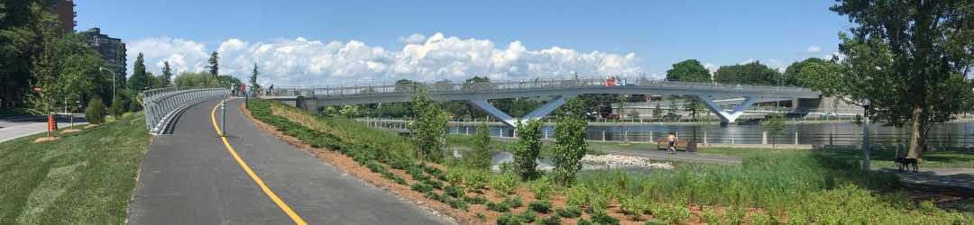
This is part of a bigger future cycling infrastructure system connecting to the Transitway system and a bit further away to the LRT Trillium line at Mooney’s Bay station as well as to the Brookfield pathway and Hog’s Back and the canal pathways. You can read more about it here.
Leave a Reply