
Orléans is situated east of Ottawa’s Greenbelt and has now over 125,000 residents. Within a few years, Orléans will have 4 brand spanking new LRT stations: Jeanne d’Arc, Convent Glen, Place d’Orléans and Trim. Orléans is on the Ottawa River and the Greenbelt; the Mer Blue Bog is on the south end. Lots of green space but the urban area itself doesn’t appear to have great cycling infrastructure. There should be some improvement coming for walking and cycling when LRT is finished though, but it won’t be extensive.

Lots of disconnections


When I was creating my subway style cycling map of Ottawa, I didn’t include the suburbs as the map would become too small for an 8.5″ x 11″ sheet of paper. But I have been staring at the map often to understand where the cycling infrastructure is in Orléans. If you look on Google’s cycling map or Ottawa’s Geo Ottawa map (it takes time to load the map and the layers, be patient), you’ll see a lot of wiggly lines in parks in Orléans. I had a bit of an idea for a loop in Orleans, but just coudn’t find a safe stretch to close a gap in my loop at the south end that wouldn’t make the loop too long. I also tried to include part of the Prescott Russell rail to trail, but that didn’t really work unless I would make the loop much longer.

An Orléans loop
Eric Darwin took the bus to Orléans and rode a loop of about 35 km with a group of friends. I took note and decided to ride the loop with my wife when we had to be in the east end for a celebration of life of a father of long time friends.
We brought the bikes in our small car and parked at the bubble at Hornets Nest at the edge of the Greenbelt. We cycled south through soccer fields and greenspace and turned east into a neighbourhood of Blackburn Hamlet. A narrow path runs through a strip of greenspace behind homes and around a school, there was some quiet residential street cycling and eventually we ended up at the part of Innes road that runs through Blackburn Hamlet.
Innis Road in Orléans

Eventually Innes veers south a bit towards the bypass but there is a path that runs towards a neighbourhood where you can quietly bike towards the intersection of Innes and Orléans Boulevard. Via Chapel Hill and Pagé Road (a wide but quiet road as it is closed at the south end which I had failed to notice before on the map) we hit Brian Coburn Boulevard with traffic lights to cross (Note: did you know that the very French word ‘boulevard’ actually comes from the Dutch word ‘Bolwerk’?)
Brian Coburn Boulevard
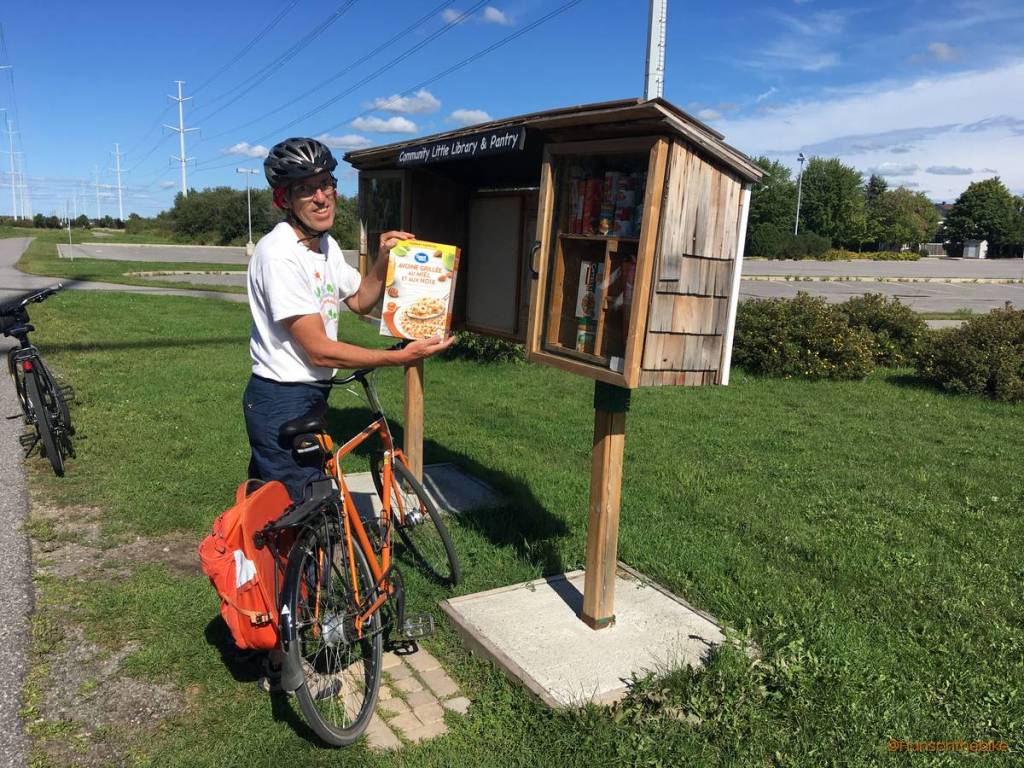
Admittedly, Brian Coburn is not the most interesting place to bike but it has a multi use pathway on the southside all the way to Mer Bleu Road. A hundred meters or so further east on Brian Coburn, we turned into Gerry Lalonde Dr, passed a lot of new homes and crossed Tenth Line to Aquaview Park. From there we connected with a long pathway that runs through a hydro corridor. Wouldn’t you know, there are even roundabouts in the pathway. I don’t think I have ever seen a roundabout in a MUP in North America!


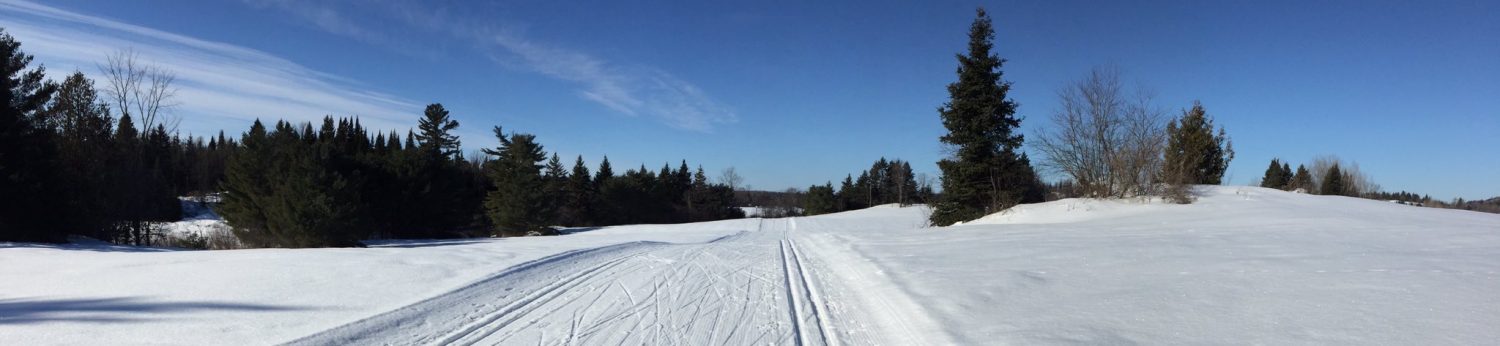
MUP along Trim Rd
By now you are very much in new Ottawa suburbia. We couldn’t believe how much is being built here. Eventually we arrived at Trim Road, where we turned north on yet another MUP. The KFC folks kindly let us refill our bottles (with sparking water no less, but I think that was by accident), and we started to approach the new MUP built around the parking lot at the LRT station and crossing the 174.

Petrie Island

As we were so close to Petrie Island, we did a short detour and took a quick look at the ponds and enjoyed the views over the Ottawa river. Then came the way back along the Ottawa river pathway on pathways once again, across bridges, along forests and fields and waterfront homes and Village Bruyere with its small garden along the pathway.

Eventually the pathway turns south along the Eastern Parkway on stone dust paths and we ended the route at Hornets Nest 35 kilometers later. That included a short Petrie Island detour of about 4-5 km.
North South corridor through Orléans
The entire route is safe to cycle, I found, and mostly on MUPs. But it is a bit of a ride. Ideally the route could be split up in two 20 km routes but I didn’t venture out to see how to cut this in half. Hopefully with the arrival of LRT more cycling infrastructure will be added creating safe connections to the stations from neighbourhoods.

I think that would appeal to more residents who might like to cycle. A north south route through the middle of Orléans might be a great addition perhaps in combination with a short stretch at an eventually revamped St Joseph Boulevard. I have no idea where such a route, perhaps a combination of a MUP, bike tracks and quite bicycle streets, would fit though. There seem to be a lot of curvy roads and cul du sacs.
I don’t know if any are in place, but signage would be nice. Sometimes we don’t know when or where the trail starts or stops, or what streets to follow. We often get lost.
I agree, it would make it a lot easier. I see directional signs showing up here and there in the city, but sporadically. There doesn’t appear to be a plan.
Recreational cycling in Orléans is ok and the pathway along the river is a nice ride. What is missing in Orléans are dedicated bike lanes and paths along the major roads such as Tenth Line, Charlemagne, Orleans Boulevard and Jeanne d’Arc. Lots of space to add them but not sure it will happen anytime soon. That makes biking to most destinations in Orléans tricky and downright dangerous.
There’s a round about on the Lachine Canal between Verdun & St. Henri! Passerelle Sir-George-Étienne-Cartier
Hans, although you jest about the hill on Trim rd being a steep one. Before the redo the hill was quite severe that i would worry about front end lifting on a recumbent. Great article as always and nice pics. BTW in the soft drink dispensers there’s a switch (tiny and hidden) to get just water.
Happy to hear they improved that hill. Thanks for the compliments, appreciated. We will check out the dispenser more closely next time 🙂